
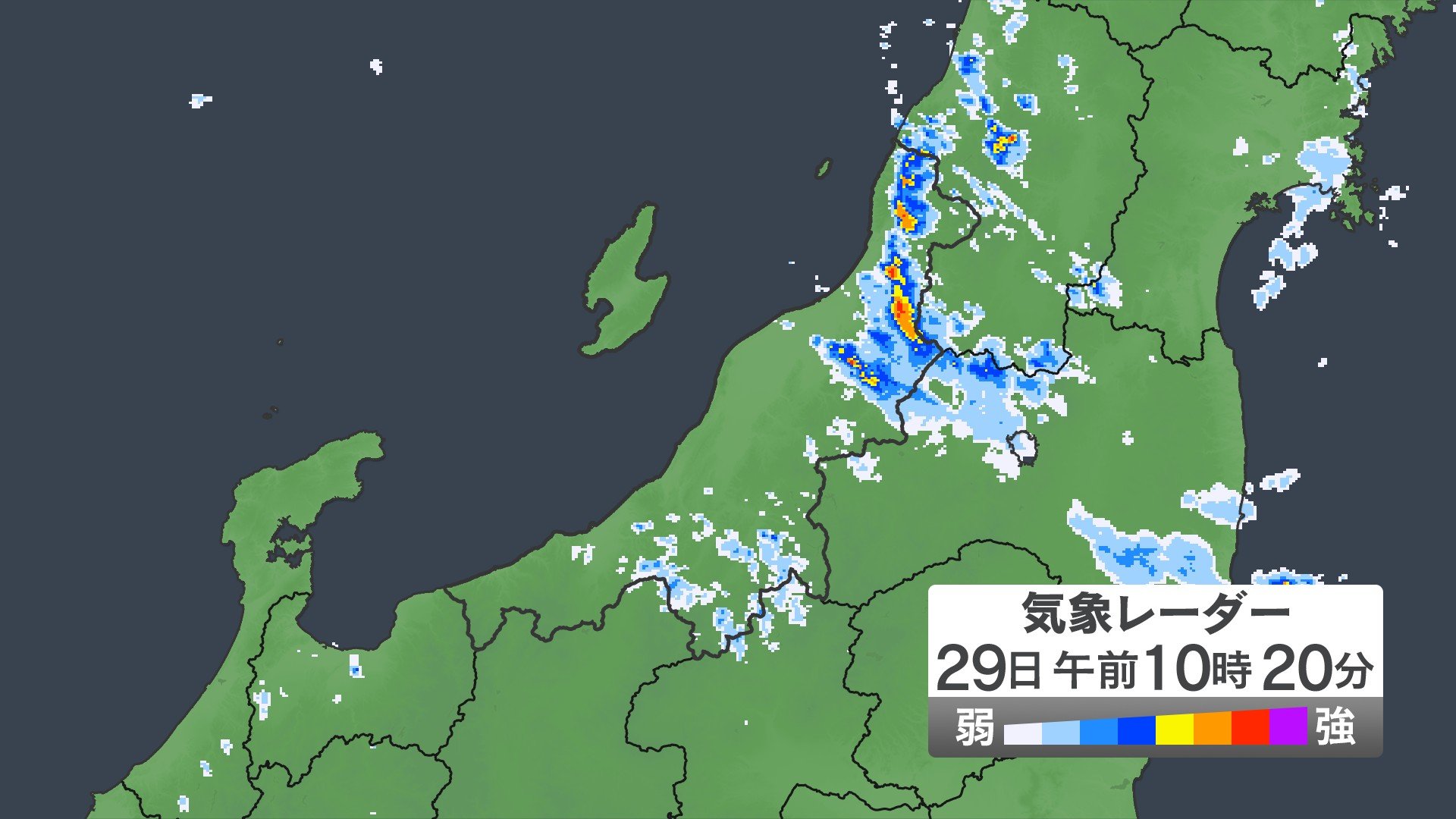
In the northern region of Hokuriku, Japan, a severe downpour has led to significant flooding and environmental damage. Residents are urged to stay updated with the latest disaster information through interactive maps available online. Authorities continue to monitor the situation closely, ensuring the safety of those residing in the affected areas.
Floods and heavy rainfall are common in Japan due to its geographical location. In these situations, there's a high emphasis on the diligence by the authorities to disseminate real-time information and the preparedness by citizens. The usage of online interactive maps showing areas affected is typical and serves to warn residents about potentially harmful conditions.
In contrast to the US and EU, where emergency systems might vary, Japan is praised for its organized and systematic approach toward natural disasters. Japan's disaster readiness and response systems have been designed and perfected over years of dealing with a range of natural hazards, making them among the best in the world.