
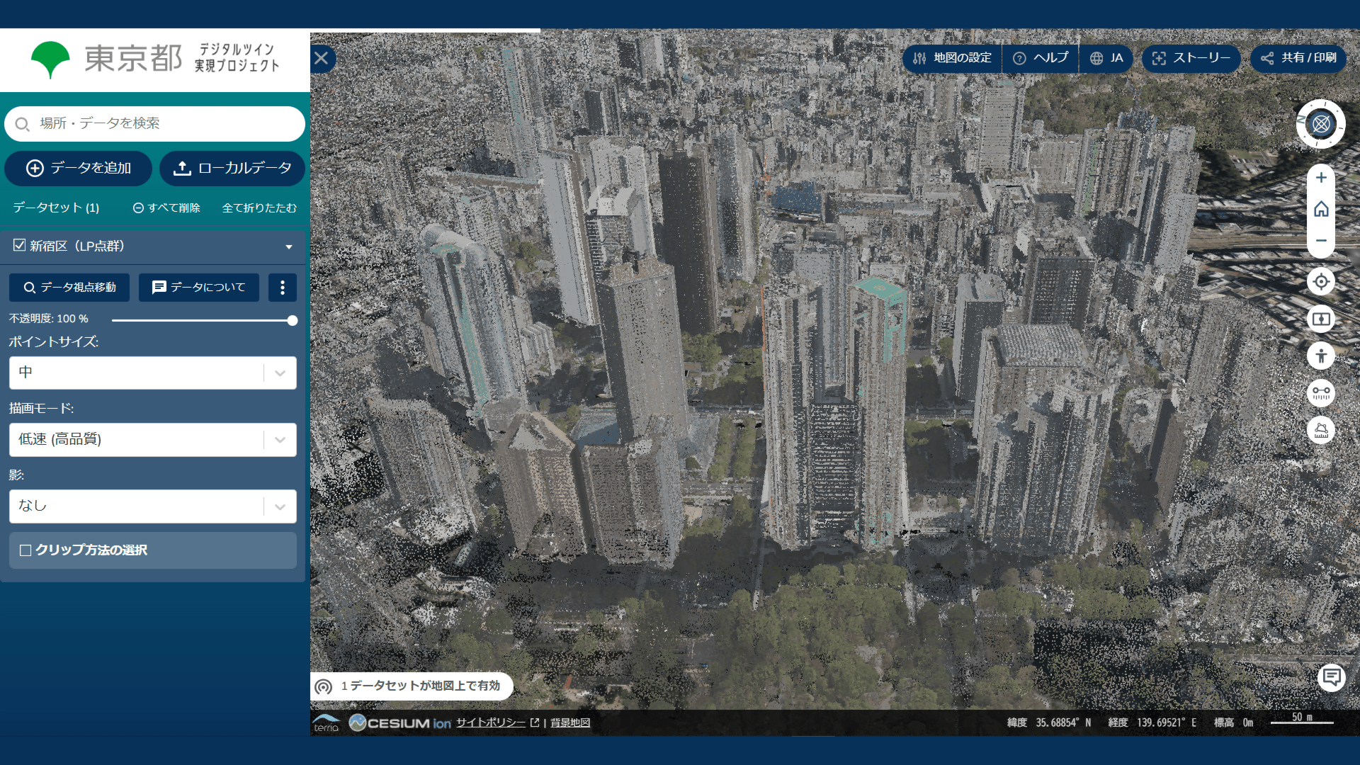
The Tokyo Metropolitan Government has released an interactive geographic information site for the city, providing a detailed map of the metropolis. Equipped with various features, the site allows individuals to browse and understand the topography, real estate, and infrastructure of Tokyo. The platform is designed to facilitate urban planning, disaster management, and stimulate economic activity by providing easily accessible, comprehensive location data to businesses and private citizens.
In Japan, increased online access to public information is a part of the government's initiative towards digitizing public services. Given Japan's high risk for natural disasters, the new mapping service promotes disaster preparedness by providing detailed topographical knowledge. Furthermore, the commercial sector values this service as it aids in urban planning and business strategies.
In the US and EU, equivalent services such as Google Maps, USGS's National Map and UK's Ordnance Survey exist. However, the level of detail provided by Tokyo's map is unique - it includes more minute details, providing insights useful for both administrative purposes and private sector use.