
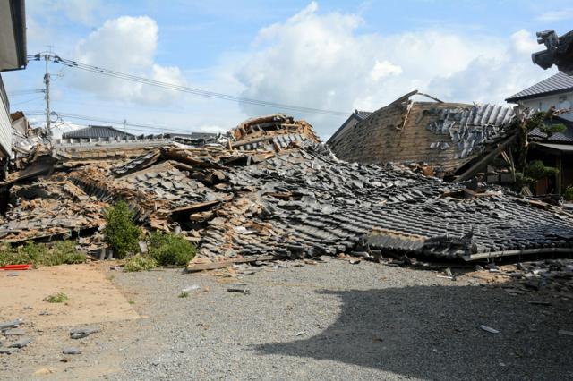
A new "Disaster Map" tool for Kumamoto has been recently released in Japan. This tool provides vital information on locations of water supply points and features detailed aerial shots of the disaster-stricken region. This initiative aims to facilitate relief efforts by helping both residents and responders navigate through the region more effectively, especially during emergency situations. It's a part of the broader strategies to combat the sporadic natural disasters that the region is known to experience.
Japan, particularly regions like Kumamoto, is prone to various natural disasters such as earthquakes and typhoons. These disasters often disrupt basic utilities, leading to a need for tools like the Disaster Map. The Japanese population values preparedness and timely assistance in the face of crisis. This invention reflects these societal values, along with the high importance placed on leveraging technology for public safety and wellbeing.
In the United States and the European Union, similar strategies are employed, particularly in regions prone to severe weather and earthquakes. Tools like interactive disaster maps are also common, providing information about evacuation routes, disaster-prone areas, and available help centers. Technological solutions to ensuring efficient disaster response, like the Disaster Map, are highly valued and widely used.